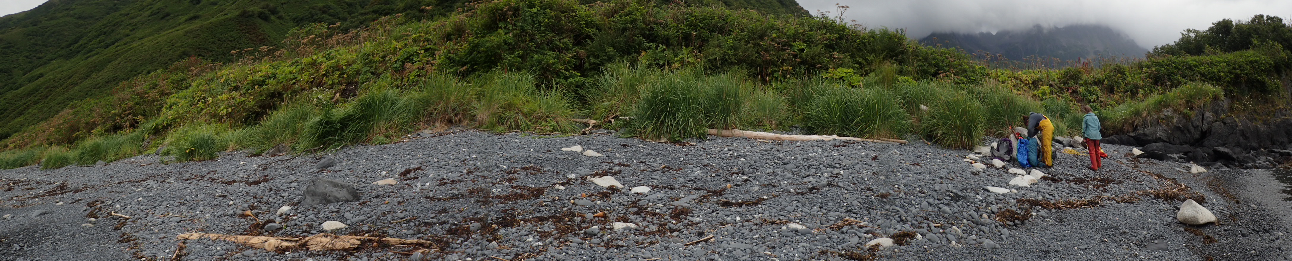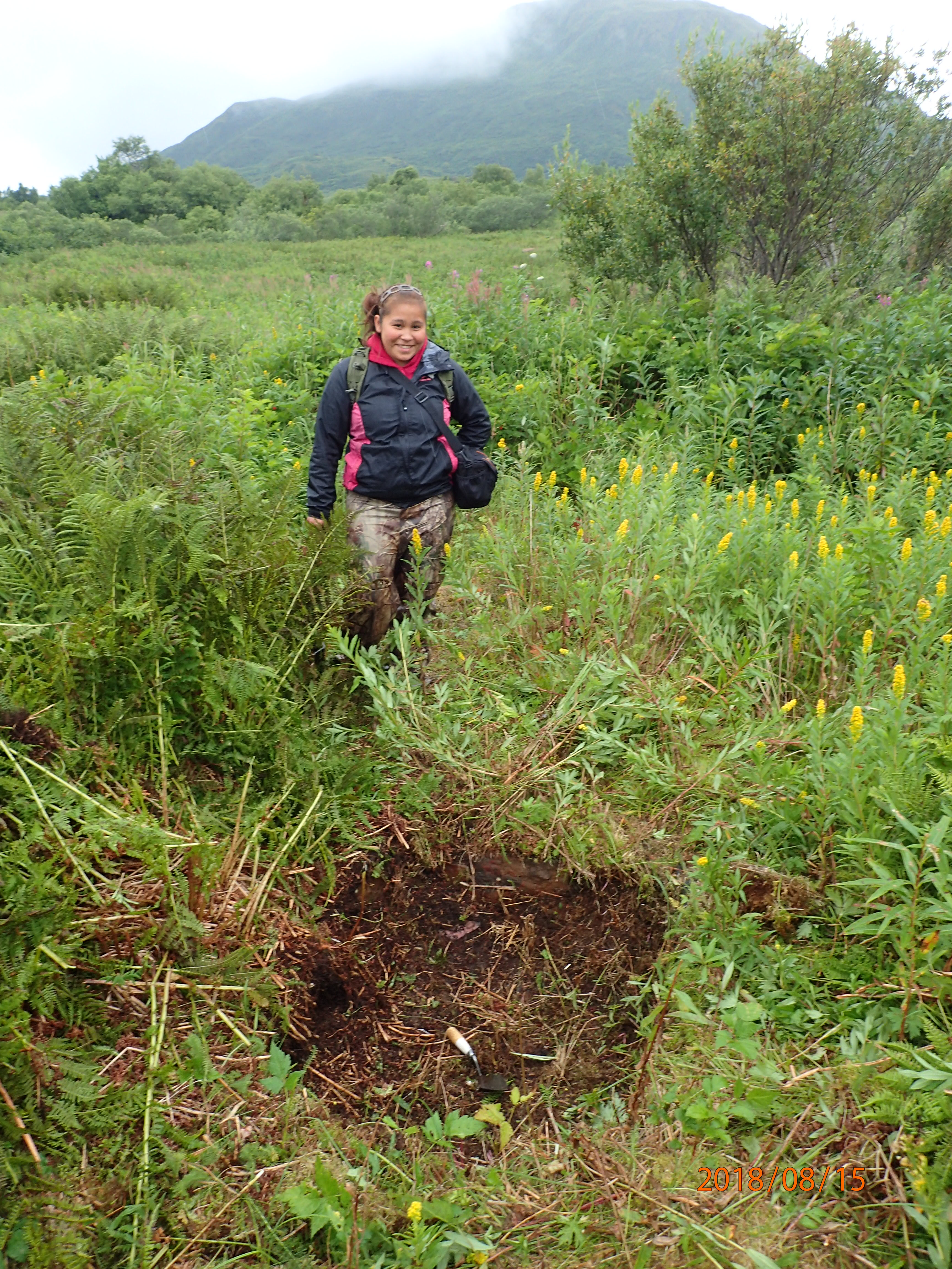

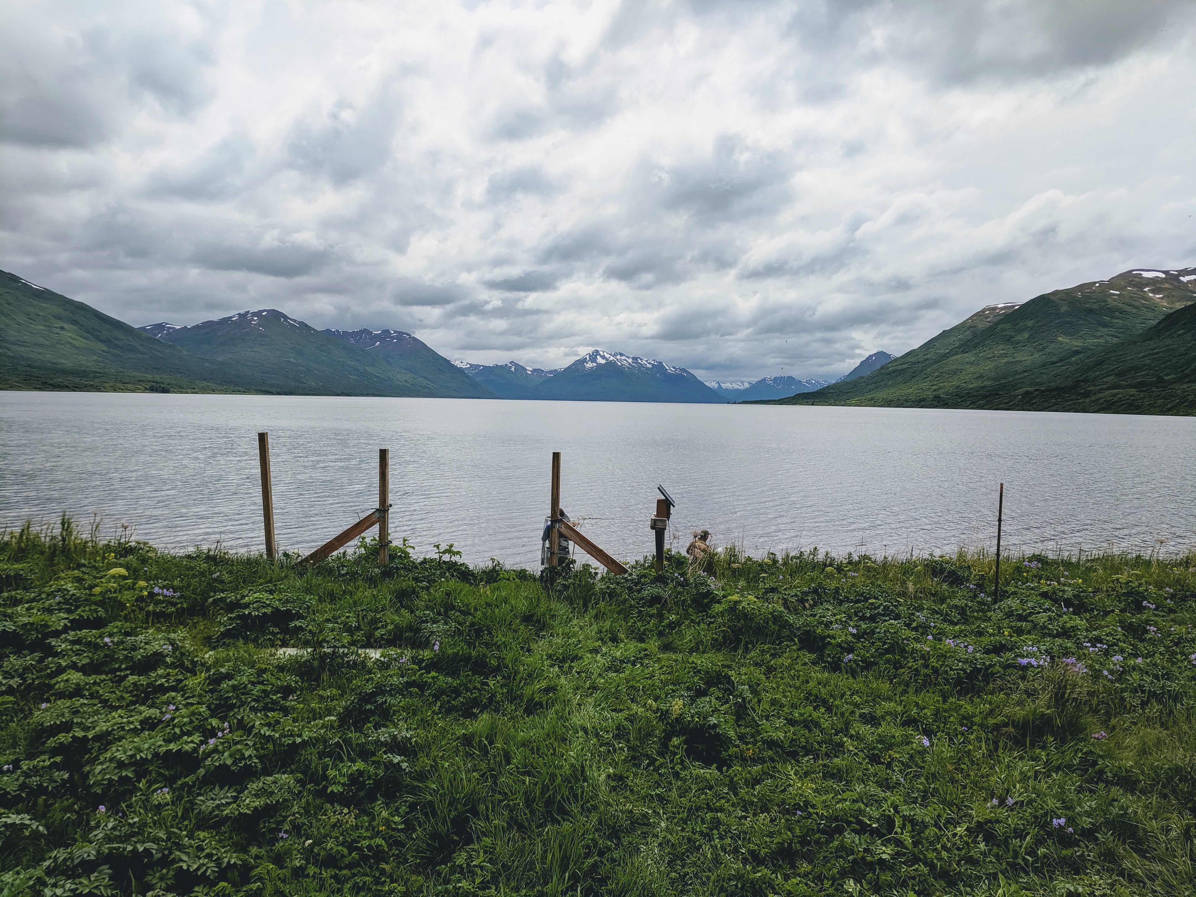
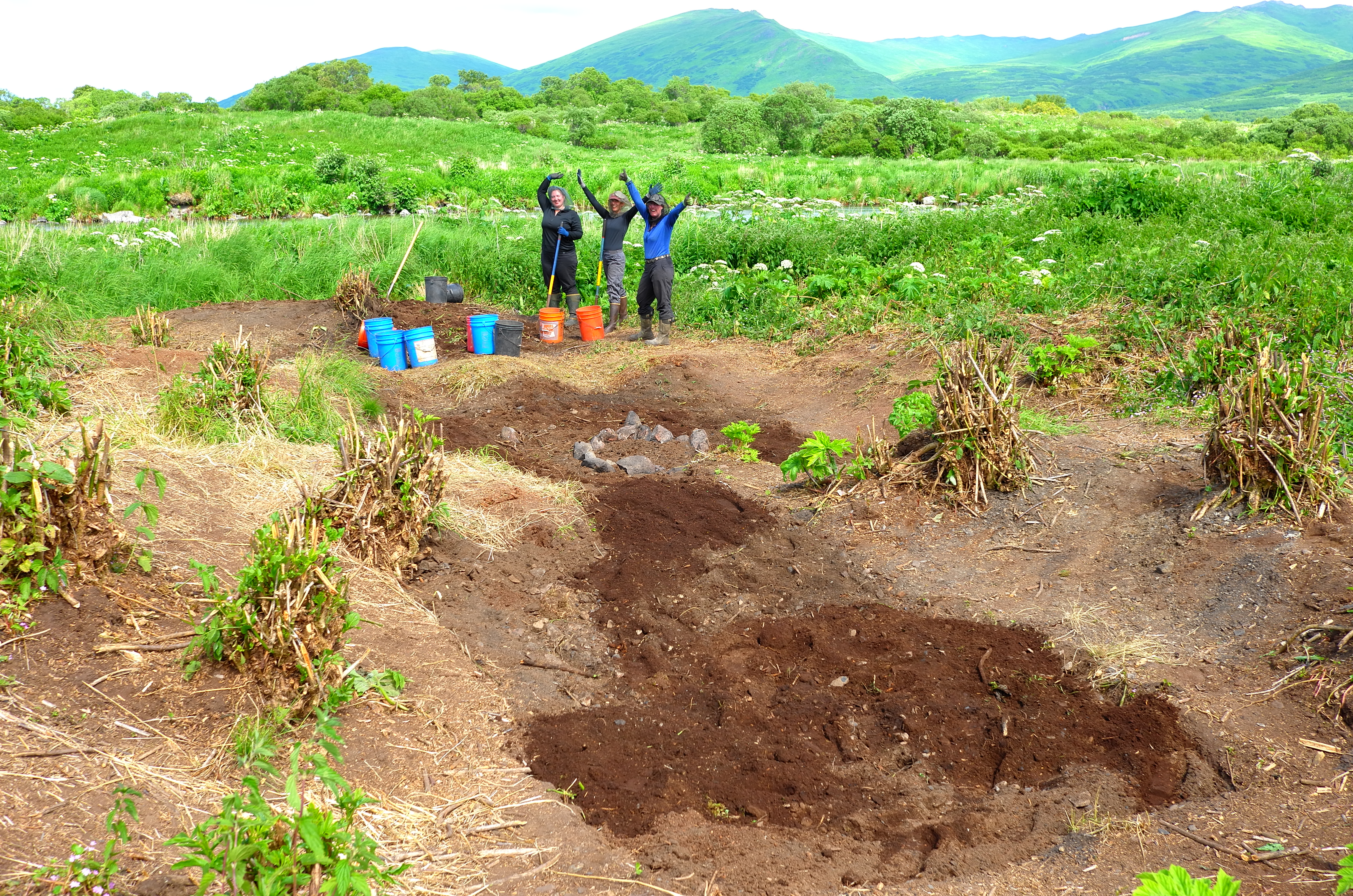
My summer 2019 field season has begun! I was invited by the Alutiiq Museum to participate in an excavation at a late prehistoric Sugpiaq-Alutiiq house at the outlet of the Karluk Lake. This project is sponsored by (and on land managed by) Koniag, Inc, who put the field team up in a lovely cabin for our two week stay at the lake!
The most recent use of the site was in the 17th and 18th centuries, prior to Russian occupation of Kodiak, and consists of numerous multi-roomed houses. Alutiiq houses (or ciqlluat) in this time period often have thatched roofs, although we found that there were insulating roof sods on at least some of the side rooms at the house we excavated.
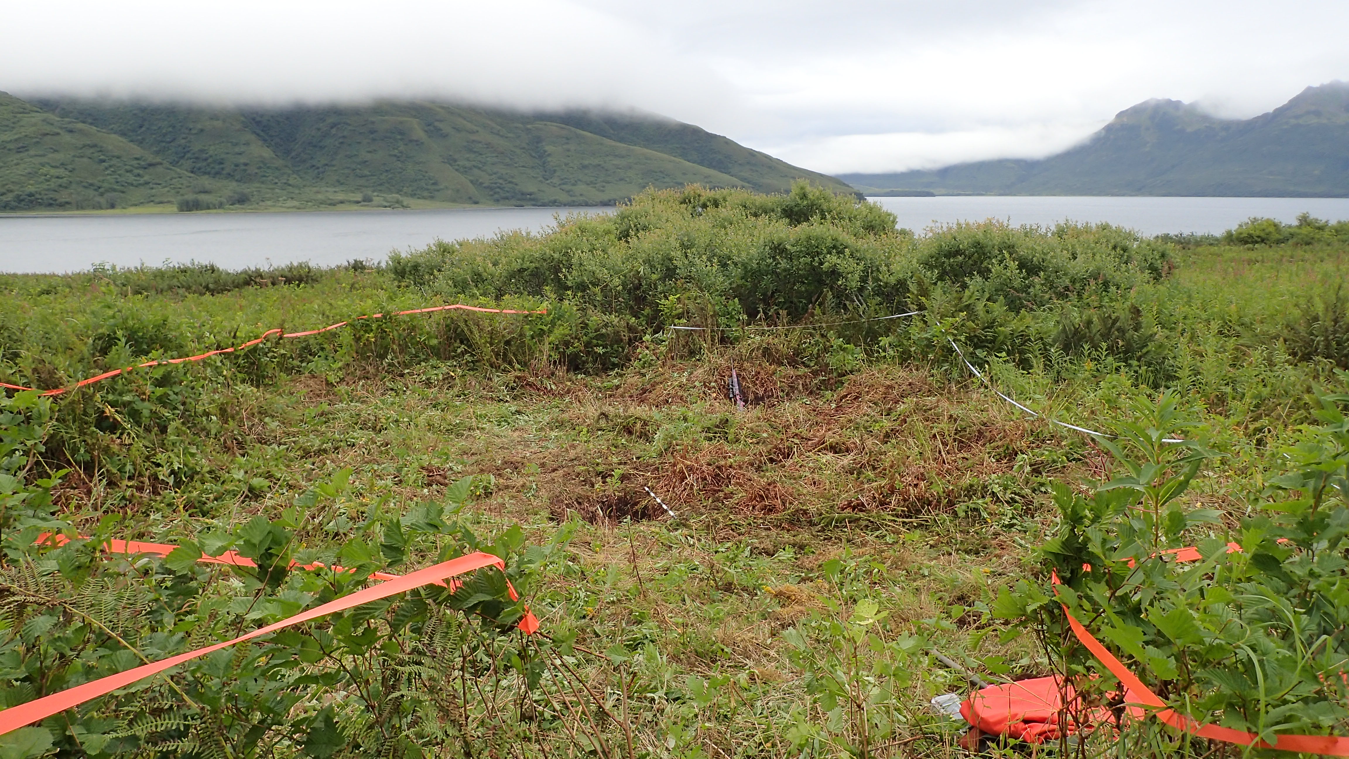
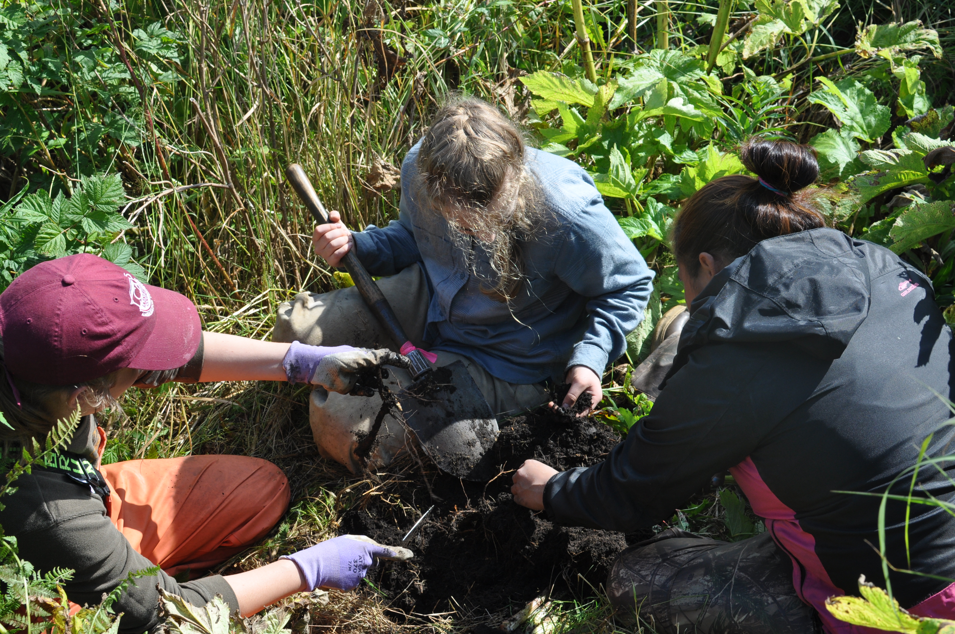
This was my first time working on an excavation on Kodiak, as the OHAHP has focused on survey thus far, and I am grateful to have learned from the vast experiences of archaeologists Patrick Saltonstall (check out his blog here), Molly Odell and Alex Painter from the Alutiiq Museum. Through the excavation, we learned that the house had been remodeled several times. There were two hearths in the main room, one clearly older than the other, and evidence in the back room of multiple uses, including as a sleeping room and a smoke house. There was a ton of charcoal and fire-cracked rock both in the house and in the associated trash pile outside the front door, so we are wondering how long the structure was used for living vs. smoking/preserving fish.

Patrick holding a ground slate point (PC: Patrick Saltonstall) 
Labret found by the hearth (PC: Patrick Saltonstall) 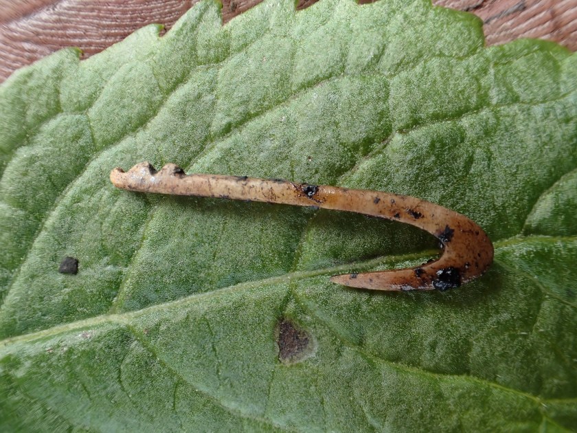
Fly-fishing hook (PC: Patrick Saltonstall) 
Neck bone of a sea mammal (PC: Patrick Saltonstall) 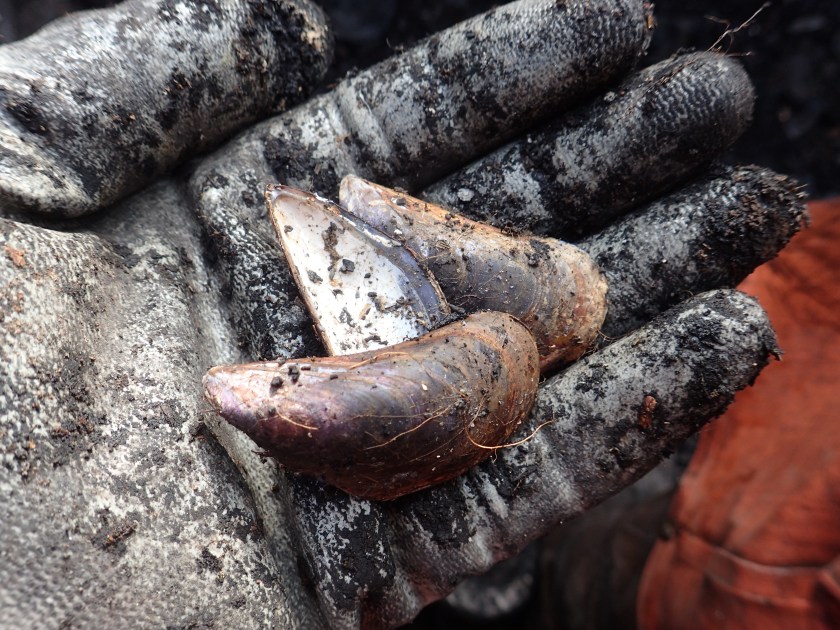
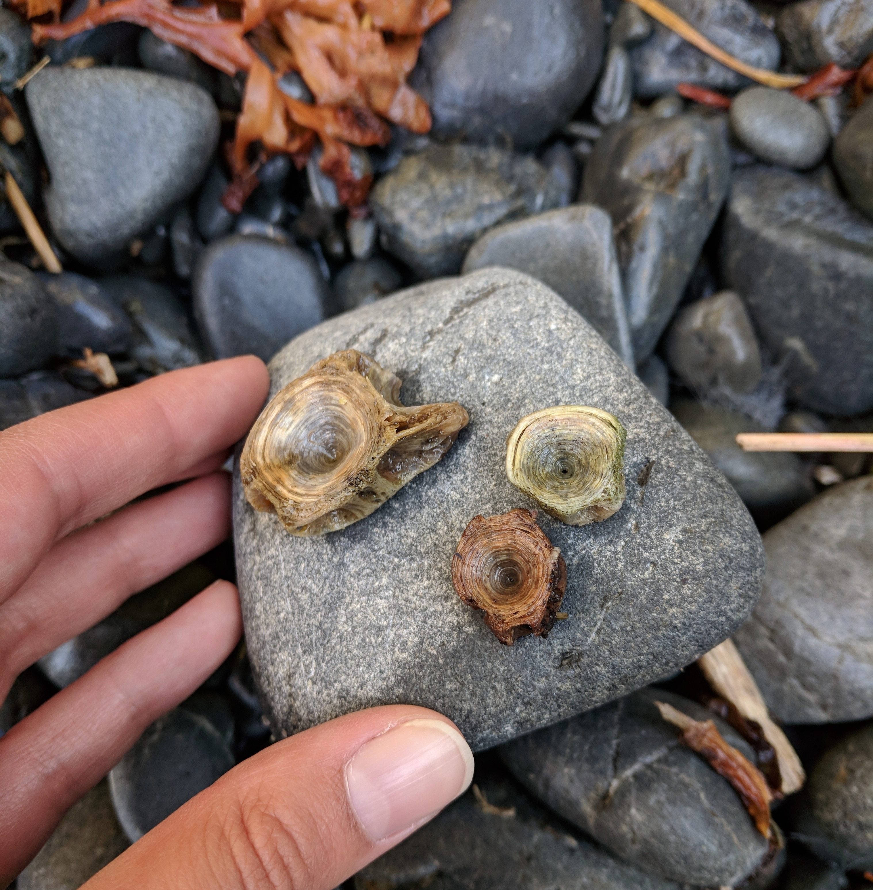
Blue mussel shells from the trash pile (PC: Patrick Saltonstall) 
Tiny ground slate point 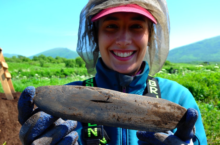
Complete ulu (PC: Patrick Saltonstall)
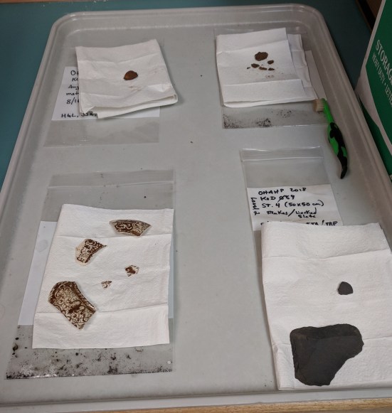
The team recovered some Sugpiaq-Alutiiq belongings and tools from the excavation, including a tiny fly-fishing hook (a new find for Kodiak!), ulus, ground slate points of various sizes and a labret! We also uncovered lots of animal bones and shells, which tells us about what Alutiiq people were eating. While we predominantly found fish bones, a resource that has and continues to draw people to the lake outlet, there were also shellfish and sea mammals, foods that only could have come from the coast. This indicates that Alutiiq ancestors were bringing coastal resources with them when they lived and fished at the lake and/or traded with other families that remained on the coast. Through the detailed analysis of the animal bones and shells, the research team hopes to learn more about what species were eaten and in which season the Karluk Lake village was occupied. This information helps archaeologists tell the story of how Alutiiq ancestors lived year to year and season to season, possibly moving between two or three houses or hunting/fishing camps within a year.
I learned so much about house excavation, site mapping and Sugpiaq-Alutiiq lifeways from this project and I am excited to take that knowledge with me when I start OHAHP’s 2019 fieldwork at Tanginak Anchorage in July!